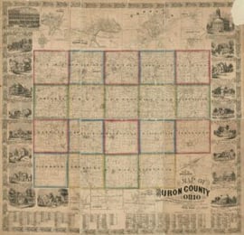
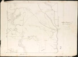
Whenever I find myself doing Massachusetts research that predates 1800, I return to a collection of early town plans, 1794-1795, that are as much a documentary source as they are an aesthetic pleasure. Housed at the Massachusetts State Archives, a division of the Secretary of State, the original collection consists of sixteen volumes which were digitized in June 2017.[1]
In the post-Revolution years, it fell to the individual states to produce accurate maps to facilitate governmental administration, develop transportation networks, and encourage settlement. Continue reading Making plans