 Click on image to expand it.
If your ancestor lived in Chester County, Pennsylvania in the months leading up to the Battle of Brandywine on 11 September 1777, you have the unique opportunity to explore the 1777 Chester County Property Atlas, an on-going historical research project made possible by the Chester County Archives.
By 1776, General William Howe of the British Army had set his sights on taking Philadelphia, the largest city in the colonies, and that meant carving a wide path through thirty miles of southern Chester County. To counter Howe’s advance, in 1777, General George Washington would mass his troops on the eastern side of Brandywine to try and stop his advance.
When armies needed to move thousands of men and an enormous number of supplies, what better way than on roads already in existence? This included movement over county roads as well as provincial roads – privately owned roads that still offered public access.
When armies needed to move thousands of men and an enormous number of supplies, what better way than on roads already in existence?
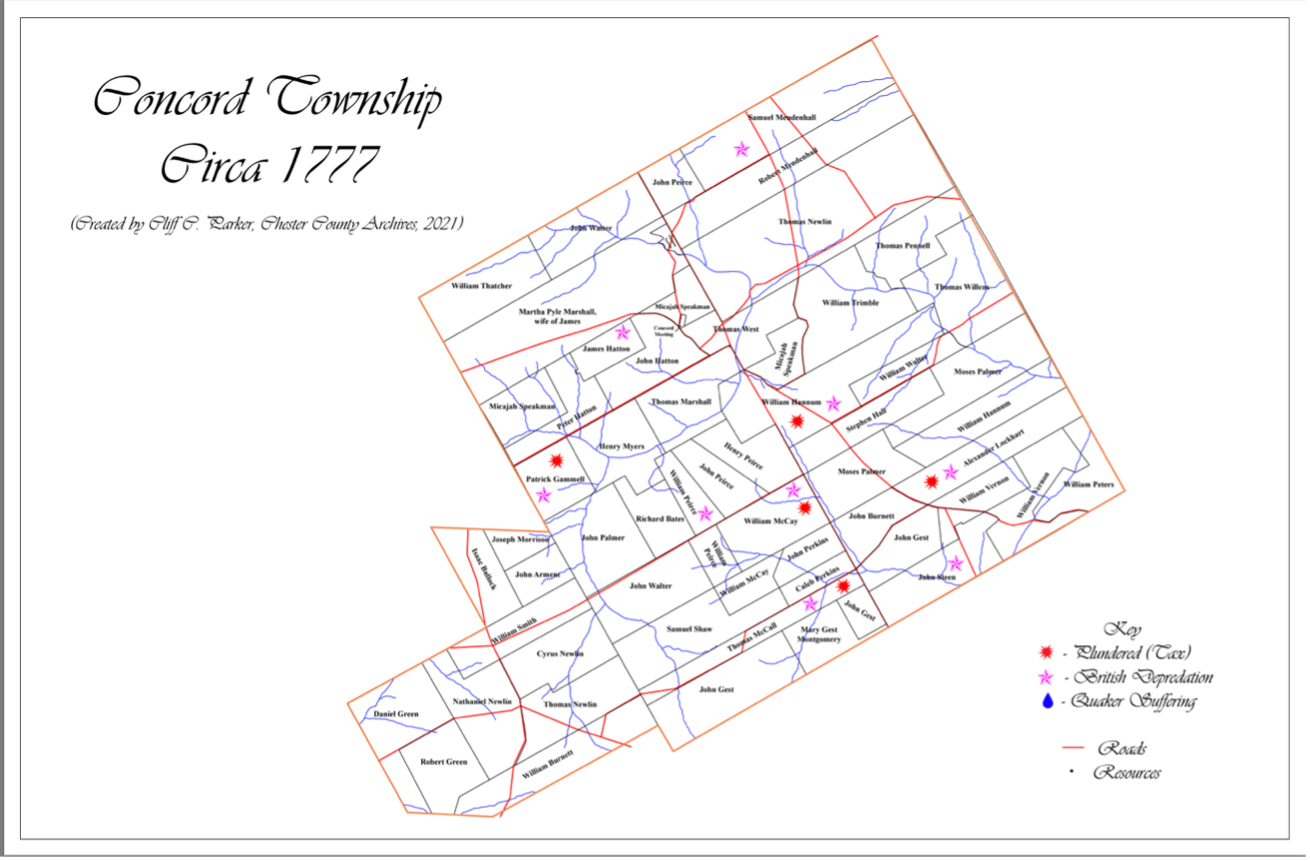
During the summer of 1777, the British plundered the landscape on their way to Philadelphia. The 1777 Chester County Property Atlas allows you see your ancestor’s property and life from a different perspective. The project even shows if the property was damaged by the British, if the owner requested aid or compensation, and the source for the information found in various land records available at the Chester County Archives and Record Services (https://www.chesco.org/1400/Land-Records).
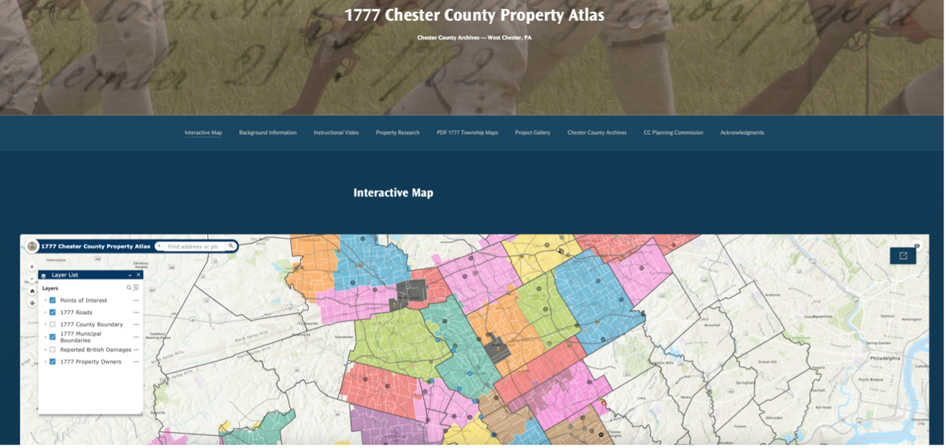
The project is constantly being updated and more townships are being added, but an enormous amount of property information has already been entered. The 1777 Chester County Property Atlas offers an interactive map that provides a unique way for researchers to discover details about property owners in Chester County, and identifies
- Points of interest such as the general location of taverns, sawmills, grist mills, and malt houses
- Local, provincial, and county roads used by the British and Continental armies
- A list of property owners by township
- Properties plundered by the British
A few examples of entries for 1777 property owners show what information researchers can learn from the interactive property map:
- Anderson, Stephen, 1772-1781, New Garden township, comments: “Tavern, Loyalist who had his property Seized for treason.”
- Buffington, Jonathan, 1760-1811, West Bradford township, comments: “Jonathan Buffington married Ann Clayton, daughter of Edward who inherited this parcel from her father.”
- Dixon, John, 1738- , Kennett township, comments: “Joseph Hollingsworth 1720 sold to John Dixon (unrecorded) in 1738. John Dixon’s only heir was a minor daughter named Sarah Dixon.”
- Pemberton, Israel, - 1780, Chadds Ford township, comments: “this property was in the tenancy of John Thatcher whose log house was used as a hospital during the battle according to his Quaker Suffering account.”
The following step by step instructions can help you get started:
1. Open the home page here.
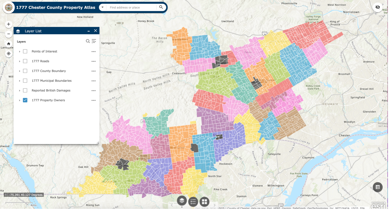
2. Once on the homepage you will see the “Interactive Map.” Open the map in a new browser window by clicking the “open live content in new tab” button in the top right corner of the map.
3. From the layer list on the left, check the box for “1777 Property Owners” and then click the “attribute table” in the bottom right corner to bring up the list of property owners.
4. Next, hover the cursor over the “owner” column and choose to sort by ascending or descending order.
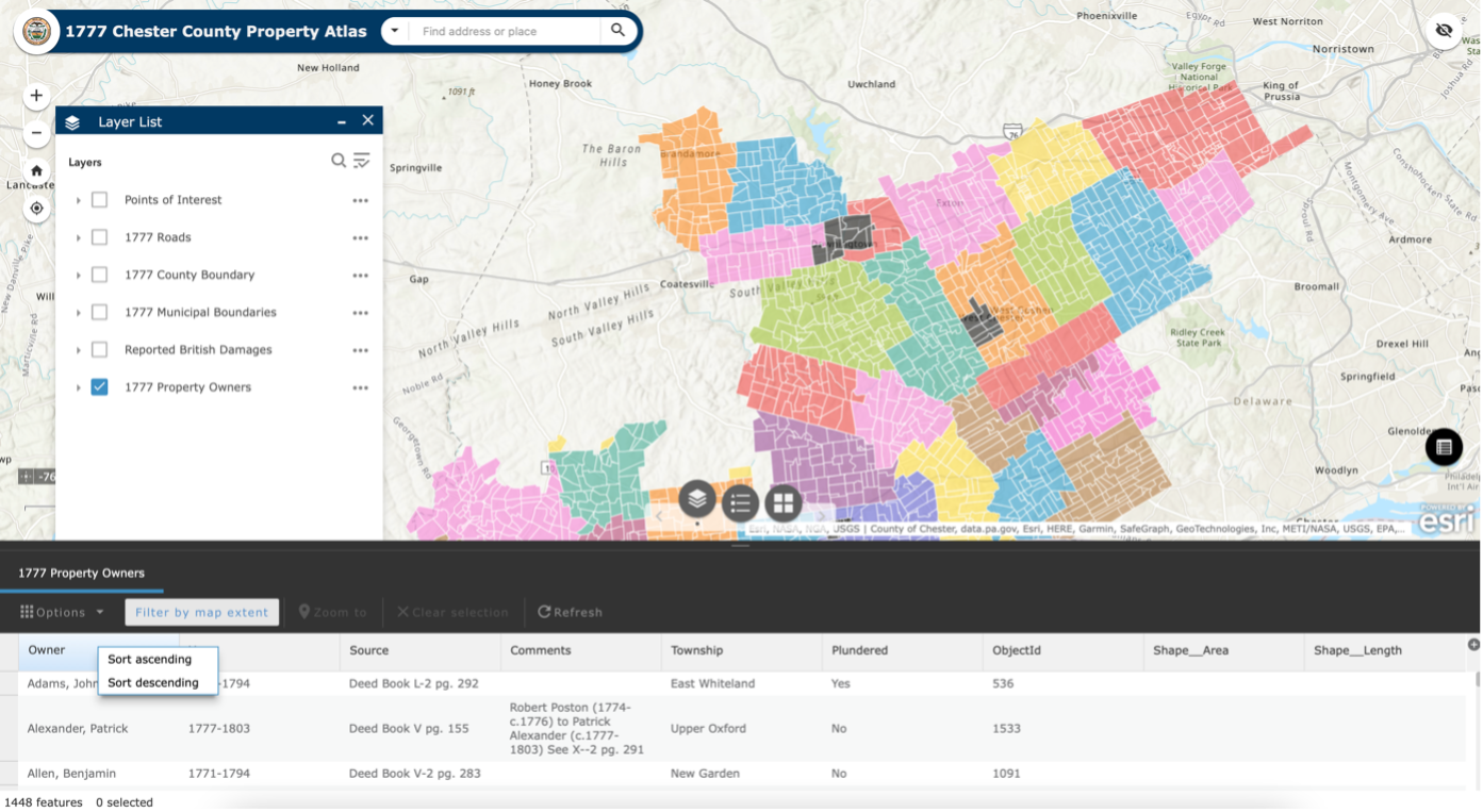
5. Scroll to the appropriate ancestor and put the cursor in the “selection handle” on the left and click to highlight. Then click “zoom to” to locate the property on the map.

You may also view the owner’s property on the “PDF 1777 Township Maps,” located toward the bottom of the 1777 Chester County Property Atlas home screen.
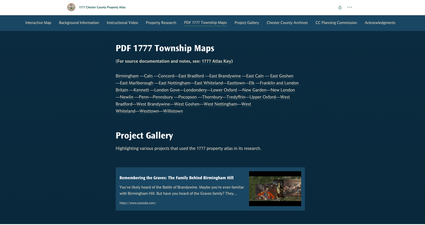
The 1777 Township Map offers another way to see the details regarding the owner’s property, as well as other property owners in the area.
It takes a bit of patience to learn the ins and outs, and all the 1777 Chester County Property Atlas has to offer, and I highly recommend watching the instructional video available on the homepage. I don’t think you will be disappointed with what the project has to offer if your ancestor lived and owned land in Chester County, Pennsylvania in the months leading up to the Battle of Brandywine on 11 September 1777.
Sources
[1] Chester County Archives, West Chester, Pennsylvania, 1777 Chester County Property Atlas, (https://storymaps.arcgis.com/stories/9cef8b93eaa94faf8e106edbb737ef1c : accessed 13 June 2022).
[2] Chester County Pennsylvania, West Chester, Pennsylvania (https://www.chesco.org : accessed 14 June 2022) home > government > departments > archives & records > records, guides & indexes > land records.