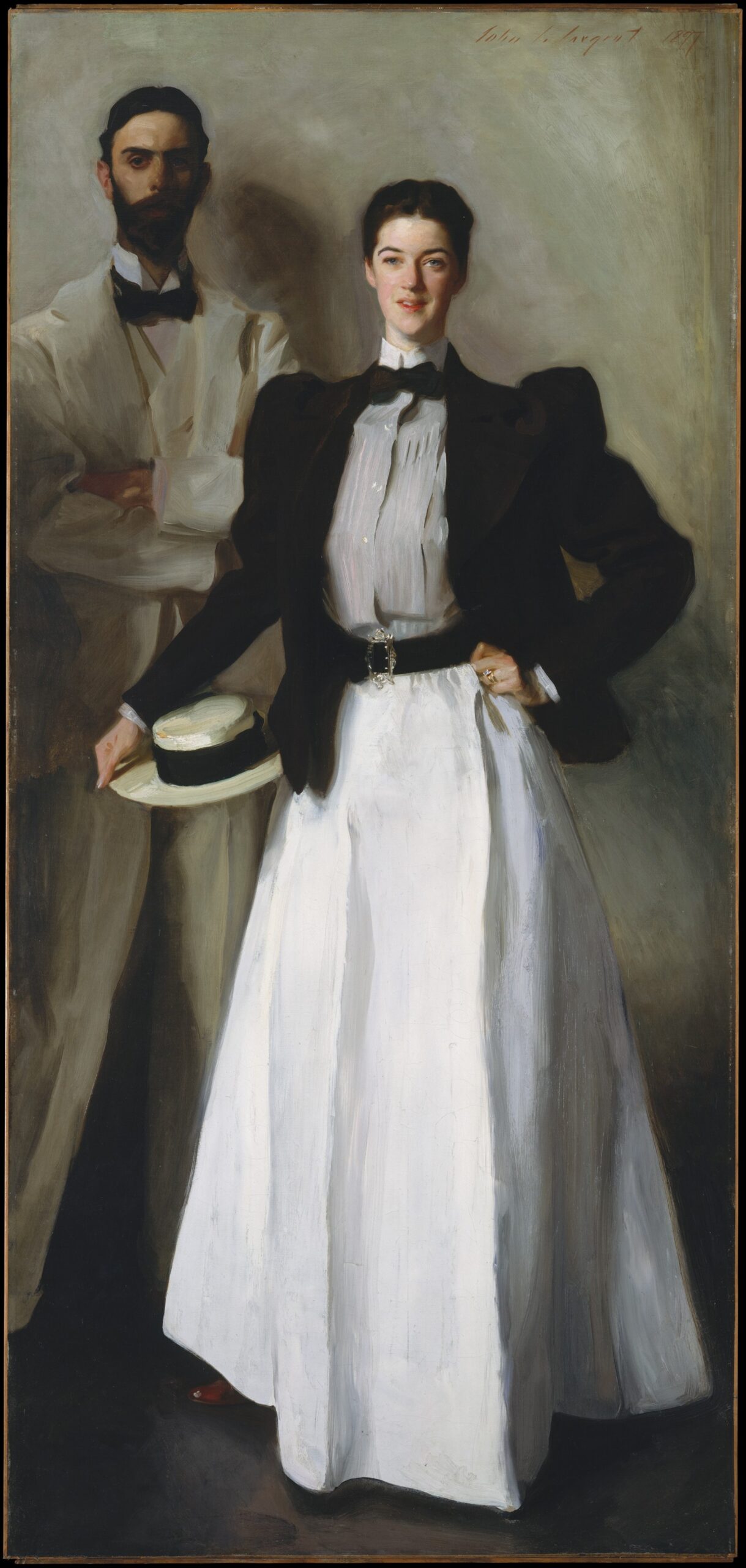
 Mr. and Mrs. I. N. Phelps Stokes by John Singer Sargent. Courtesy of Wikipedia
One of my favorite sources for Manhattan research is The Iconography of Manhattan Island 1498-1909 by Isaac Newton Phelps Stokes (1867-1944). This six volume set was published between 1915 and 1928 and chronicles the history of Manhattan from the fifteenth century to the early twentieth century. The publication not only records the vast history of Manhattan, it also provides beautiful illustrations and maps.
The volumes most relevant to my own family research are the first and second volumes, which highlight the Dutch period (1609-1664); both volumes have helped me to uncover new information about my family. Most importantly, from this source, I have learned where my Dutch ancestors held property or lived in lower Manhattan during the seventeenth century.
For as long as I can remember, I have been fascinated with historical landscapes. How has this property changed over the years? What did this street look like 200 years ago? As this interest overlapped with my family history research, I then wondered – where did my ancestor live on this street? The Iconography of Manhattan Island is a historical landscape lover’s dream source, with detailed descriptions of streetscapes, their evolution, and their residents.
With the aid of Map of the Dutch Grants, located in Volume 2, I learned that my ancestor Abraham Isaacszen Verplanck received a grant of land on Brugh Straet, now Bridge Street, in 1647. Located adjacent to the former location of the Dutch West India Company’s brewery and to Hendrick Hendrickszen Kip, this lot was eventually reclaimed by the Dutch West India Company in 1659 for the construction of a hospital. By 1665, Verplanck settled on Smit’s Vly (or Smith’s Valley), which was located between Wall Street and Fulton Street. From The Iconography of Manhattan Island, I learned that Abraham Verplanck likely lived on Pearl Street, a street that still exists in Lower Manhattan.
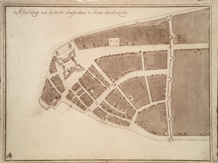 Be sure to read Stokes’ preface to The Iconography of Manhattan Island in Volume 1, where he thoughtfully describes his intentions for the epic history. And don’t miss out on the Castello Plan, a detailed 1660 map by surveyor Jacques Cortelyou. This incredible map depicts not only the streetscapes of New Amsterdam, but also its buildings. If you have Manhattan ancestry, this source is a must!
All six volumes are available at Columbia University and Archive.org.