 It is summer time and the siren call of the road echoes through my mind: “Come explore! Leave your desk and your clutter. Forget the phone, pack your car and come explore!” When we were children, summer meant road trips to far off and “exotic” places such as Nova Scotia, Prince Edward Island, and Quebec. One memorable summer we took a four-week camping trip across the country from Washington, D.C., to the Colorado Rockies to explore the old Moffat Railroad over the Continental Divide. Four squirming children and two adults crammed into a Dodge Sedan towing a trailer with the tent and other camping gear (no pop-up camper for our family).
The call of the road was especially strong last week as I pored over books and references to colonial Pennsylvania. I was puzzling the problem of how a family might travel from Philadelphia to what is now Pittsburgh in the late 1790s when I happened upon Paul Wallace’s Indian Paths of Pennsylvania, published in 1987 by the Pennsylvania Historical Society. This richly illustrated book describes over 130 named paths in Pennsylvania such as the Allegheny Path (the southern branch became Forbes Road), Nemacolin’s Path (later Braddock’s Road), and the Monocacy Path (later part of the Great Valley Road).
The most direct route from point A to point B
Native Americans blazed trails through the wilderness of Pennsylvania long before Europeans arrived. As hunters, they would track game for miles, often on the same paths used by prey. Over time the network of paths and trails evolved into an interconnected system for travel and trade. The trails tended to be dry and level, taking the most direct route from point A to point B. They often followed river terraces above the flood zone. When river crossings were inevitable, the shallowest and narrowest points were selected for traversing. Trails over the mountains used gaps such as Cowan’s Gap to get across the Tuscarora mountain ridge. Settlers moving westward across the state used this pre-existing network.
Military generals such as Braddock and Forbes began the process of widening some of the paths during the French and Indian wars to accommodate the movement of artillery and supply wagons. In 1794, the Philadelphia and Lancaster Turnpike – the first paved road in the new United States – opened, following the Great Minquas Path and the Monocacy Path.
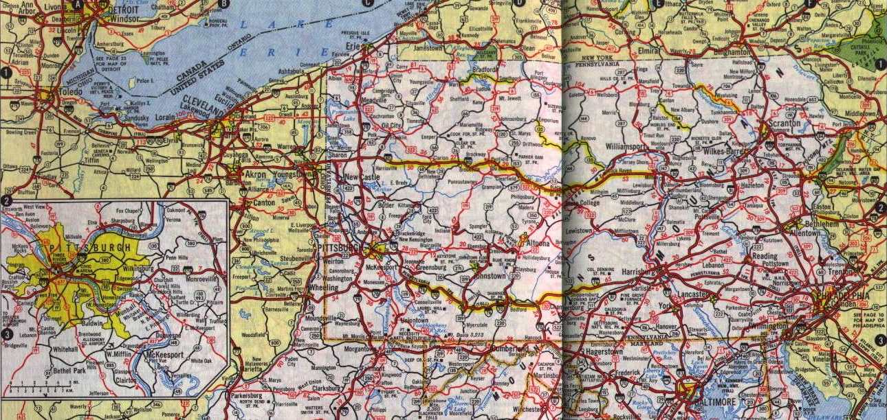
For the road tripper, Wallace’s book provides not only detailed descriptions of each path, but also instructions for following the path via car. For example, US Route 40 mostly follows Braddock’s Road. Route 30 was built on the footprint of the Monocacy. Interstate 81 and Highway 11 trace the Virginia Path. The descriptions include maps, history, and key geographical features. If you are looking for a new way to explore, and have ancestors who crossed Pennsylvania, pick up Paul Wallace’s book and retrace your ancestors’ steps across the state.